
| The Emo Nickel, Copper, Cobalt, PGM Sulphide Project |
|
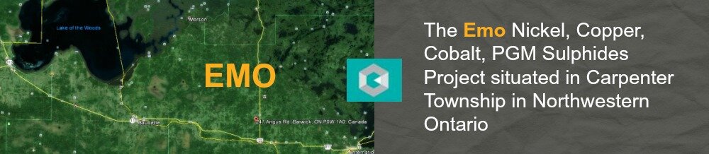
This project is situated in Carpenter Township, in Northwestern Ontario. The property is located approximately 35 kilometers northwest of Fort Frances, approximately 160 kilometres south of Kenora and 420 kilometres west of Thunder Bay. The property has proximity to year-round main roads and is located very close to the Rail system. The "Company" has also purchased a free-hold farm property in Ontario. The 170 acre property includes a four bedroom house and out-buildings suitable for storing equipment. The company will use this property as a field base for its Ontario mineral operations. The Property is proximally located to the mineral claims recently optioned by the Company. The project has excellent infrastructure, with year-round road access, rail access and power lines in close proximity. The Fort Frances area has a population of approximately 10,000 people and is able to provide a workforce for future project advancement and development. Excellent historic accounts have been provided by the Ontario Geological Survey which conducted geological mapping in 1971 and again in 1987 to 1988. Crystal Lake Mining has recently received very positive results from the first stage of its Drilling/Exploration program and is currently in the process of planning the second stage (2stage Drill/Exploration program). The IRON/GOLD PROJECT Like the Nckel, Copper Cobalt and PGMSulphide project, The Emo Iron/gold project is also situated in Carpenter Township, in Northwestern Ontario. The iron formation has a strike of 10 miles and is located approximately 35 kilometers northwest of Fort Frances, approximately 160 kilometres south of Kenora and 420 kilometres west of Thunder Bay. The "Company" has also purchased a free-hold farm property in Ontario (described above). The company will use this property as a field base for its Ontario mineral operations. The Property is proximally located to the mineral claims (gold/iron ore) recently optioned by the Company. The project has excellent infrastructure, with year-round road access, rail access and power lines in close proximity. With a population of approximately 10,000 people,, The Fort Frances area has a workforce that is able to support both the Nickel, Copper, Cobalt and PGM Sulphide project and the Iron/Gold project. For the Iron/Gold project, excellent historic accounts have also been provided by the Ontario Geological Survey which conducted geological mapping in 1971 and again in 1987 to 1988. The Emo iron formation is hosted by the sediments located in the greenstone belt that forms part of the 900 kilometre long east-west Wabigoon Sub province, dated as Precambrian (2.7 billion years). The area of interest in the Wabigoon Sub province is comprised of predominantly basic metavolcanics (two major periods of effusion appear apparent). The metavolcanics were in turn succeeded by a variety of clastic and chemical sediments including iron formation. Variable thicknesses of these sediments occur localized into a number of discrete troughs. The numerous bodies of iron formation commonly have associated gold (Au). Structurally, on a regional scale, the strongest and earliest deformation event produced a well-defined penetrative fabric with foliation approximately parallel to the trend of the deformed metavolcanic
rocks. The iron formation in the Carpenter Township has been folded into two antiformal structures which have in turn been decapitated by erosional processes.
|
